T: This trip didn’t begin when our plane slipped through the low, dreary stratus clouds revealing a lush, jagged, mysteriously beautiful landscape. It didn’t begin when we got off the plane and first set foot on the damp Faroese ground.
No, this trip began with a puzzle, nearly three and a half years before we even officially made the Faroe Islands our goal.
It was a cold, quiet night in December 2014 when Elizabeth and I picked out a puzzle from the cabinet to work on. Puzzles are both a journey and a destination, and after a few rough weeks for the family, we needed both.
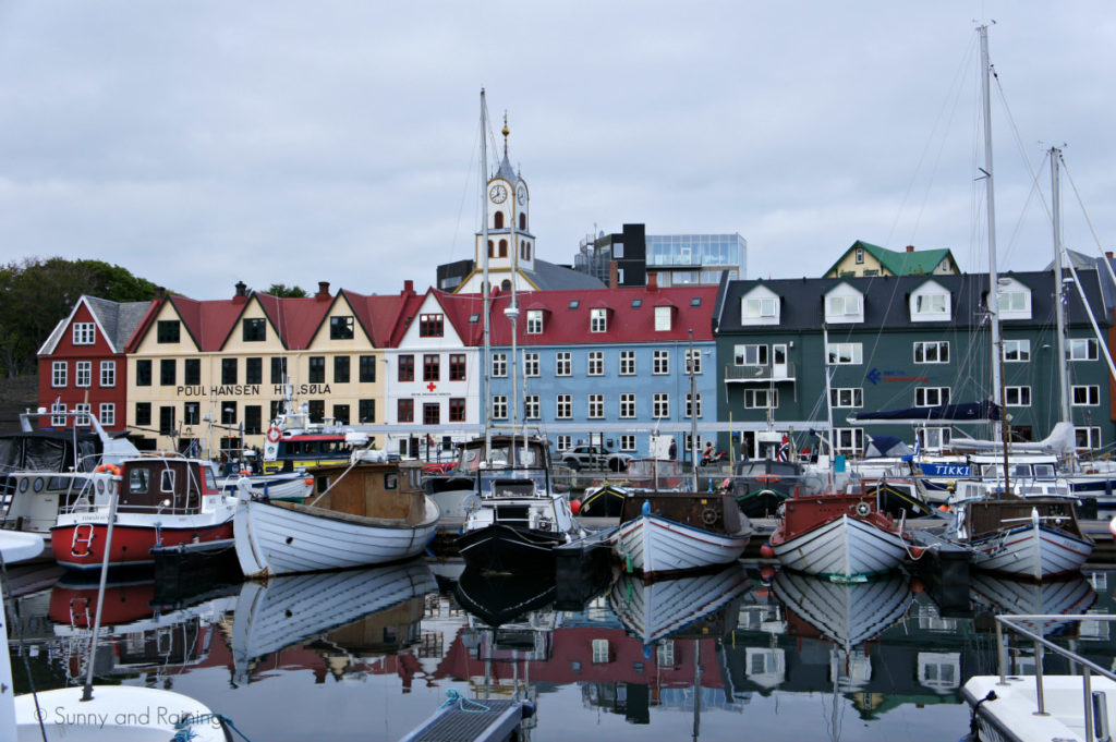
The beautifully Nordic palette of the Torshavn Harbour was eye-catching — a quaint, beautiful collection of red, yellow, blue and white buildings in front of an immense collection of masts. With the picture on the box as our only compass, we started the journey, one piece at a time. Entranced by the hunt for the next piece, the journey turned into a race. It was largely a race against our own fatigue and weariness of a long day and a long month. After several hours hunched over the kitchen counter, the destination appeared.
Elizabeth always says you’ll never remember how tired you are; you’ll remember the experiences you’ve had instead. And while I tend to hang on to a footnote on each experience that, yes, I was tired, it remains just that — a footnote. Thinking back, that night was a precursor to this and many other trips. I will always vaguely remember that I was probably tired. But I will remember — far more critically — that we persevered and sought out many new destinations and treasured the journeys along the way.
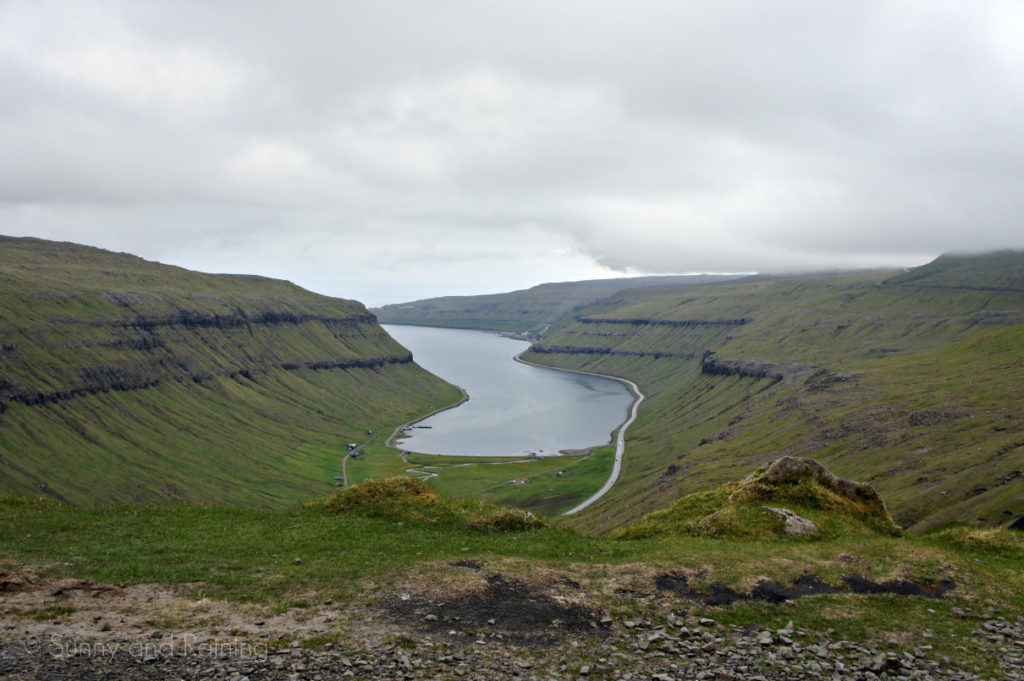
E: Just as I caught sight of rich, green hills covered with dozens and dozens of sheep, the dramatic, rocky cliffs laced with waterfalls seemed to overshadow them. Normally, I’d wish for sunshine on a vacation, but the eerie — almost dim — light we experienced for the majority of our trip gave the islands a sort of gloomy filter that made them that much more beautiful.
Head tilts and polite nods were typical reactions we received when we told others we were going to the Faroe Islands.
The small cluster of islands in the North Atlantic is hardly well-known; but if you look at a map, about halfway between Norway and Iceland, you’ll see them. Just 540 square miles of seemingly unspoiled, bizarre nature. Home to 50,000 people and 70,000 sheep, the Faroe Islands are a sort of place you can really only imagine in your dreams. You truly have to visit them in person in order to understand.
I’m always up for visiting an iconic city or famous landmark, but I think I find the most joy in the lesser-known places — where everything is more untouched and there aren’t any expectations of what to see or do. The best kind of day is unplanned, but becomes filled with unexpected thrills or adventures.
We did end up planning a portion of the Faroe Islands trip. After reading about flight delays and fog that can last for days on end, we opted to buy plane tickets from Bergen, Norway (where we spent the first four and a half days of our trip) to the Faroe Islands, and then tickets from the Faroe Islands to Copenhagen. We knew flying standby to this location wouldn’t have been very wise. Eliminating the stress of constantly checking to see if there were going to be seats home — or out of the country, at least — was an incredible feeling.
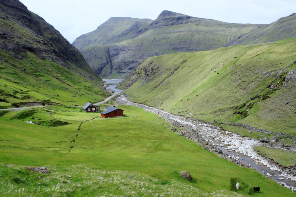
E: There are only a handful of moments in my life when I’ve gasped out loud at the sight of something so incredibly breathtaking. The moment I opened my eyes during our descent into the Faroe Islands on that cloudy Wednesday afternoon was one of them. As soon as we completed that puzzle years ago, I knew we had to visit the Faroe Islands someday. To actually be stepping off the plane onto the land we dreamed of visiting for so many years — it was just so surreal.
By the time we touched down and located our rental car, it was about suppertime. But in true Elizabeth and Timmy fashion, we opted to make the most of our time and go on two separate hikes before we hunkered down in our Airbnb for the night.
That’s the thing about the Faroe Islands. A combination of near-endless daylight in June, and not having to drive very far to see anything, made it very difficult to slow down. When there are 18 different islands to potentially see and only two and a half days to see them, it’s tough to stay in one place very long.
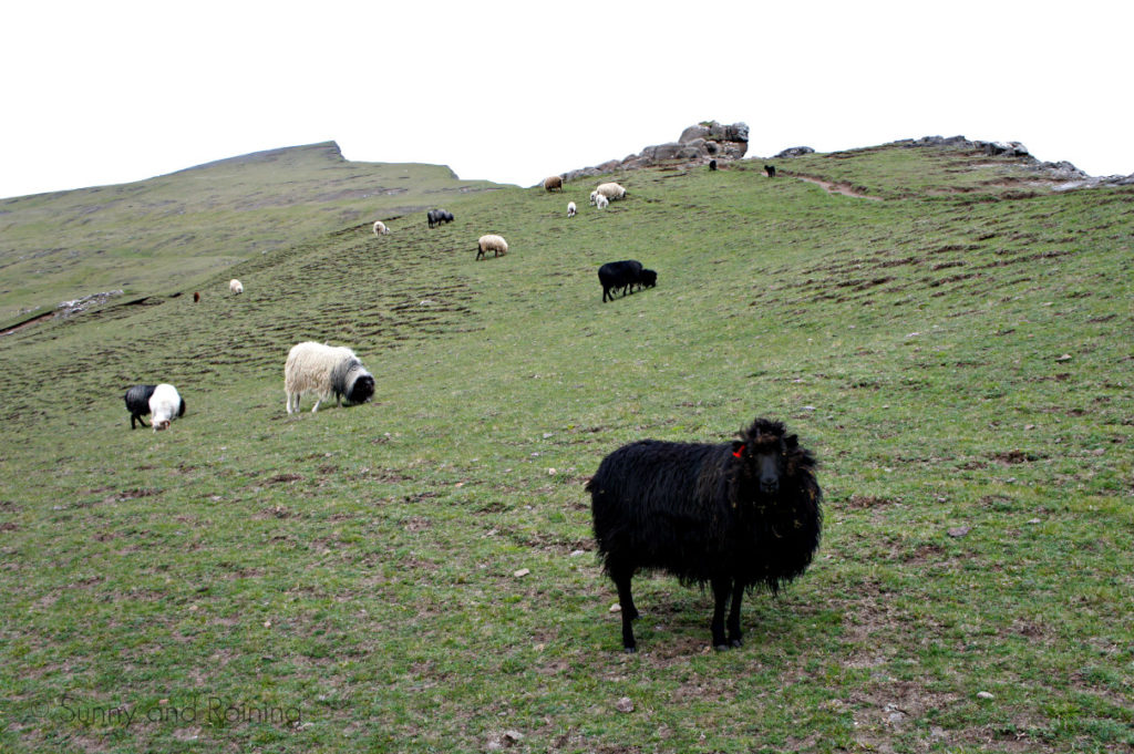
T: It feels too cliché to say the Faroe Islands are a well-kept secret. They certainly are, of course. The islands are so different than anything else I’ve ever experienced that no words could make them knowable or tellable. A picture is worth a thousand words, but the expansive, lush context of each sight in the Faroes is too much for any camera to capture.
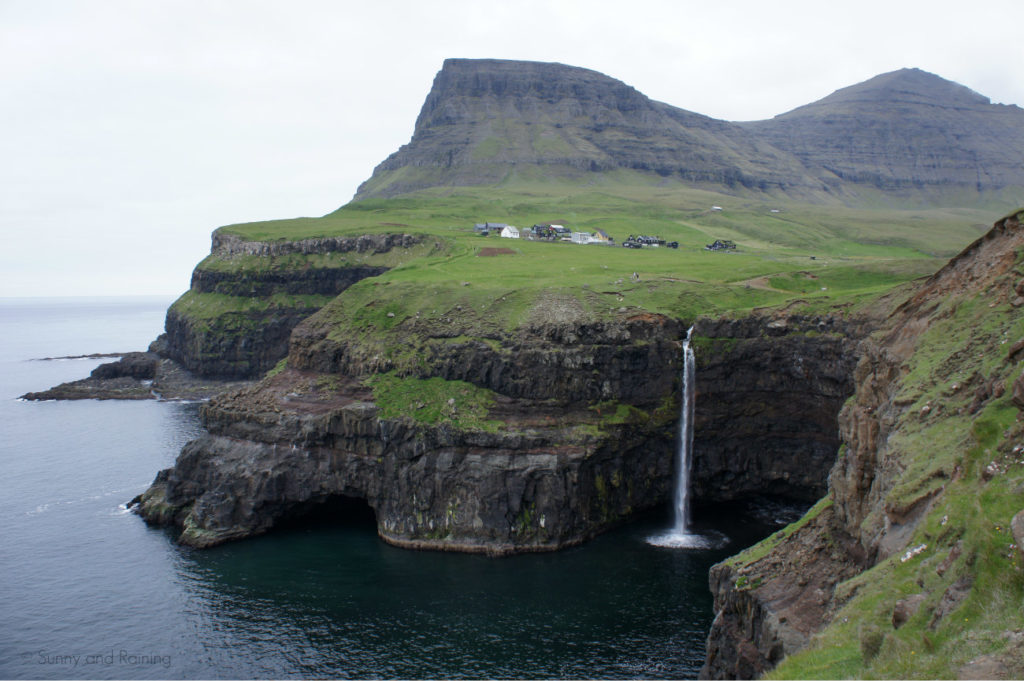
That became apparent before we made it to our first stop. After just minutes of winding roads, seaside views, a few small towns and countless sheep, we burst through the far end of the Gásadulur tunnel — and there it was.
A tiny town, surrounded by nothing but undisturbed terrain in all directions. A stream skirts the edge of Gásadulur and serenely drops into the ocean below. Mulafossur.
We parked and took it all in. We could still be taking it all in.
Not that long ago, Gásadulur was a day’s hike from the rest of the island of Vágar, with no car access. The hike would have been quite the trek, climbing to a height of more than 400 meters over the ridge that separates the handful of houses from the rest of the island. In 2004, the Faroese government built a road tunnel and now Gásadulur and Mulafossur are accessible to Faroese citizens and world wayfarers everywhere.
T: If you’ve ever played SimCity, you might be able to comprehend the Faroes a little better.
Before power lines are placed, before the first shovel is in the ground to build the town’s first house, you can shape the terrain however you want. Like Photoshop, multiple tools are available to raise, lower, sharpen or soften the terrain into infinitely realistic or unrealistic features.
The Faroes seem to defy reality — with high peaks, huge valleys, stark cliffs and monumental fjords. Our next stop, which was helpfully right along the route to our Airbnb in Kvívík, was another must-see on the list for the Faroe Islands — Trælanípa. Yet again, the pictures don’t do it justice. Any picture you’ll find of Trælanípa doesn’t really even explain what’s going on.
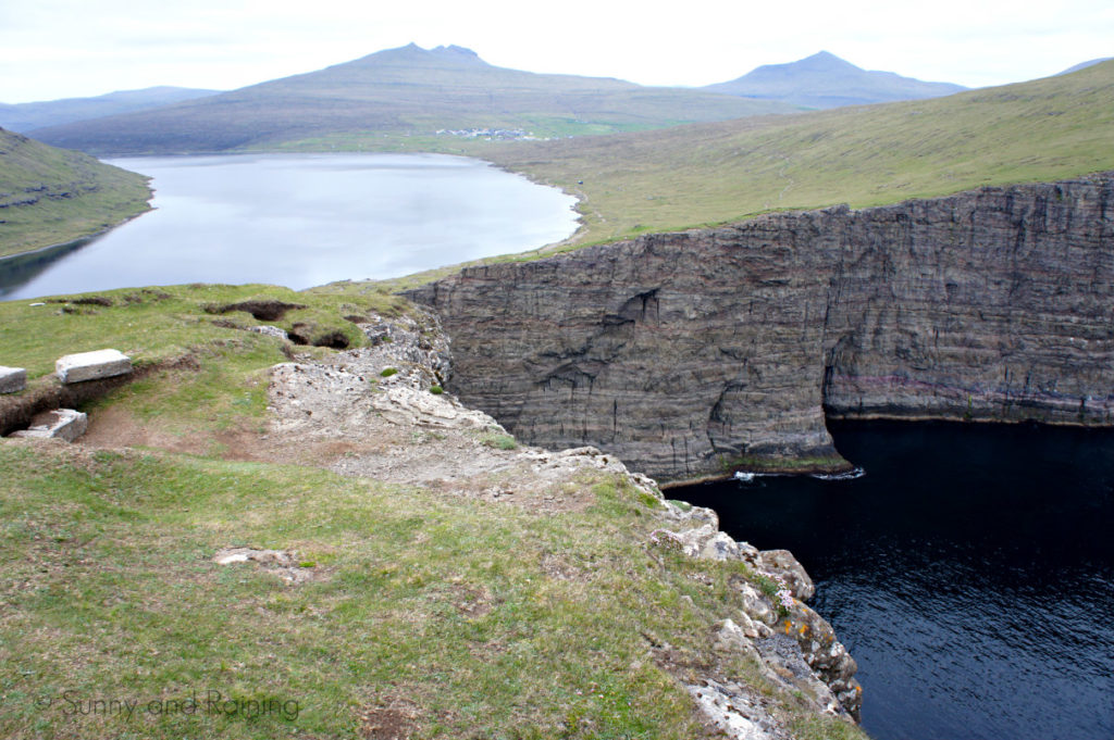
E: Trælanípa was the hike I had seen in many pictures — where it looks like Lake Sørvágsvatn is floating above the ocean. It is in the sense that it’s 30 meters above the ocean, but there’s a stark cliff between the two.
There are plenty of pictures online that make the lake look like some kind of optical illusion. We did make it to the very top and edge of the cliff, but as soon as we made it up, I knew the view I found was slightly different than the view I was looking for. I later found out you have to climb down to a different part the cliff in order to catch a glimpse of that specific view. But the hour-long hike was still worth it. The salty air around us was fresh and cool.
We slowly made our way back along the lake, walking alongside sheep of many different colors. None of them seemed all that afraid of humans.
After the relatively easy hike back to our car, we stopped at a grocery store to get some deli meat and bread to make sandwiches for supper (our go-to meal on European trips) and made our way over to our Airbnb for the night.
We stayed at a beautiful seaside house in Kvívík, which is on the western edge of the largest island of Streymoy. Many of the Faroe Islands are connected by tunnels or bridges, and the proximity of our Airbnb to the island of Vágar was well-suited to our itinerary. Vágar is home to the airport and the two hikes we did our first evening.
Kvívík was a perfect jumping point for a few days on the island, though a slight miscommunication while arriving at our Airbnb had us wandering aimlessly around the quaint, little town for an hour or two. There’s no public WiFi (that we could find, at least) and our Faroese wasn’t quite good enough to ask directions from very nice stranger we saw sitting in her yard. She understood our Airbnb host’s name when we said it, but the conversation quickly fizzled when neither of us could understand what the other was saying. A polite smile, a quick wave and we were on our way. We did eventually get settled in. Our host was just wonderful and our cozy room with a view was perfect.
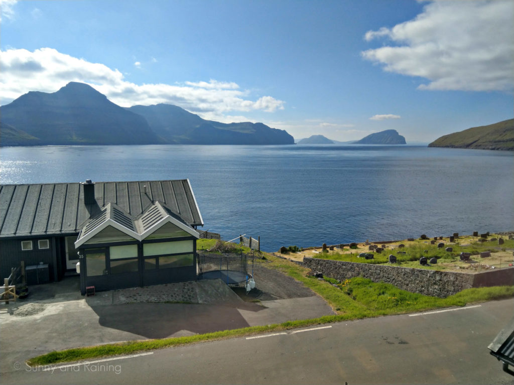
T: The Faroese have immense respect for nature — though, with the unforgiving wind, fierce storms and unyielding ocean, that respect is hardly voluntary. We were discussing with our Airbnb hosts our ideas of possibly hiking Slættaratindur, the tallest peak in the Faroe Islands, and we were quickly warned of the fog. If it covers the top of the mountain, they advised, don’t attempt to go up there. It turns out several tourists have died after getting disoriented in the cloudy mountaintops and falling.
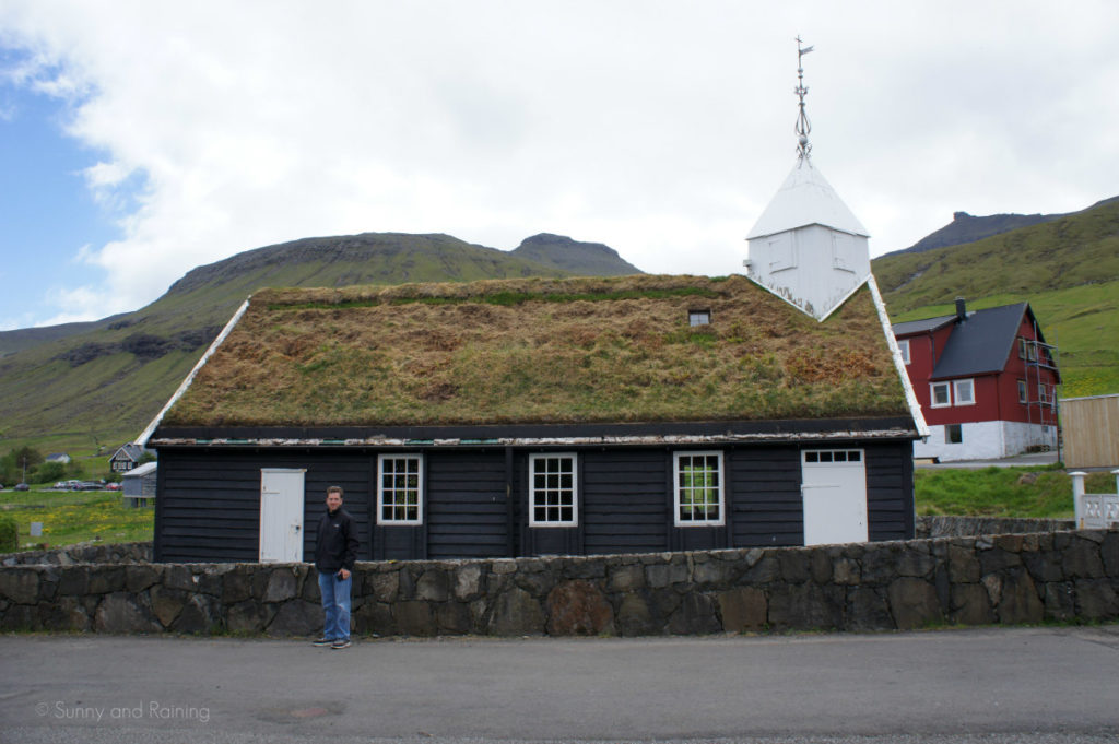
We turned our sights elsewhere to other hikes, but the villagers, messengers and pastors traveling from town to town before roads, cars or electricity had to develop methods of staying on the trail through deep snow, unforgiving wind and thick fog. Rock by rock, the Faroese built these cairns — pyramids of rocks — to act as beacons to their fellow travelers. Even today, many of the trails around the country are marked by cairns, which guide hikers along the way.
The Faroese people are every bit as unfussy as their Scandinavian neighbors, but there’s also a charming duteousness to them. You might not get many extended greetings out of them, but we never failed to get a nod and a quick “hey” from every single one. They’re a hardworking folk and are keenly aware of their beautiful but harsh world.
E: We spent an evening having a long conversation with our host and her son (who spent time studying English abroad) and learned so much about the lifestyle of residents on the Faroe Islands. It seemed so casual, like we were talking with friends.
Many of the Faroese people do not speak English, but like in most of Europe, it’s spoken by nearly anyone who interacts with tourists. Our Airbnb host spoke English fairly well, although we had to chuckle when she attempted to remember a certain word while describing an upcoming project at her house. She turned to her son and described it to him in Faroese.
“Scaffolding,” he said, without missing a beat.
Tim and I glanced at each other and exchanged a smile. How many years do you study English before learning the word for “scaffolding”?
E: When we first started seriously researching our trip to the Faroe Islands, I was most excited to visit Mykines — a relatively small island known for its magnificent population of puffins.
We nailed down the details of how to get there. It turns out you can take either a quick ferry ride or a helicopter for a very small fee. But with fears of potentially getting stuck on the island and missing our flight out due to weather, we opted to wait to book transportation to the island until we arrived. That way, we’d have a better idea of the weather forecast.
When we arrived and saw that both modes of transportation to the island were completely booked for both the days we’d be around, I was a bit heartbroken for about 20 minutes.
Later that evening, as we planned an outline for our first full day, we read about a little boat excursion and sightseeing tour that takes riders into the Vestmanna Bird Cliffs. Still eager to see puffins, we decided it was a good alternative to Mykines.
We awoke on our first morning, ate breakfast and drove the very short 10 or 15 minutes to catch our boat. I still wasn’t used to the fact that nothing was ever really that far away, even if you wanted to go to the very edge of the furthest island.
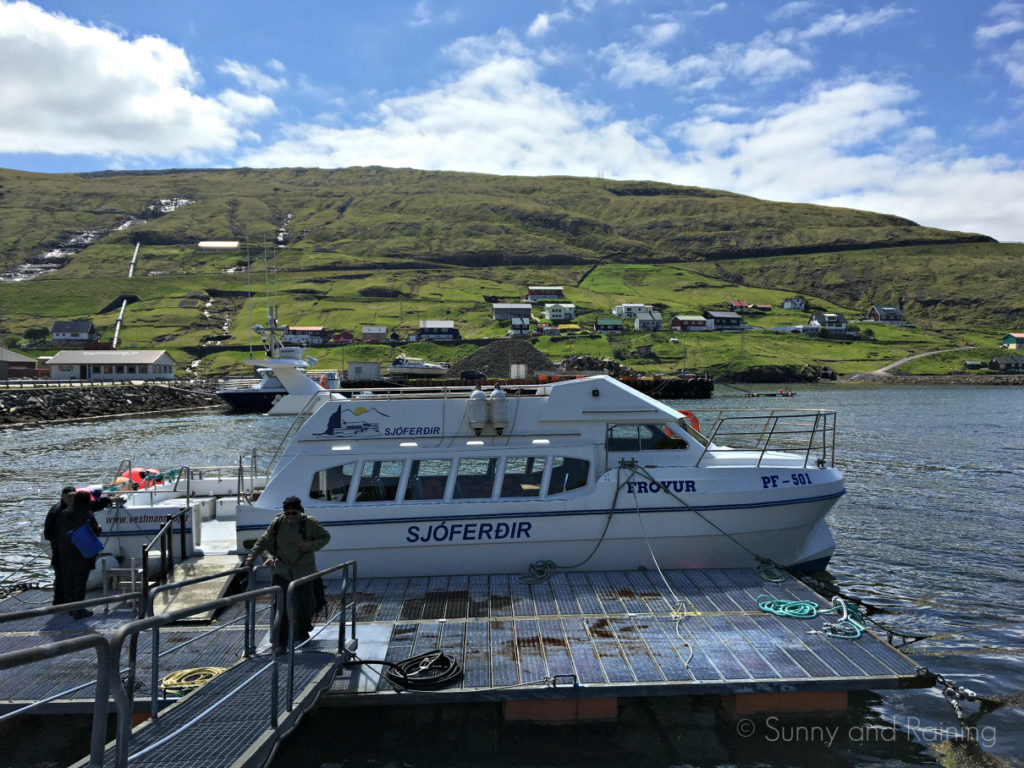
Our boat held about 20 or 30 people, and half of us braved the chilly air and sat on the top deck. We began the journey by sailing along the edge of the cliffs, listening to our captain explain the history our surroundings and the unique birdlife that thrives on the Faroe Islands. But after another 10 minutes or so, we were sailing into a narrow passageway. The waves lifted our boat up and down, and we all looked up. The birds were everywhere.
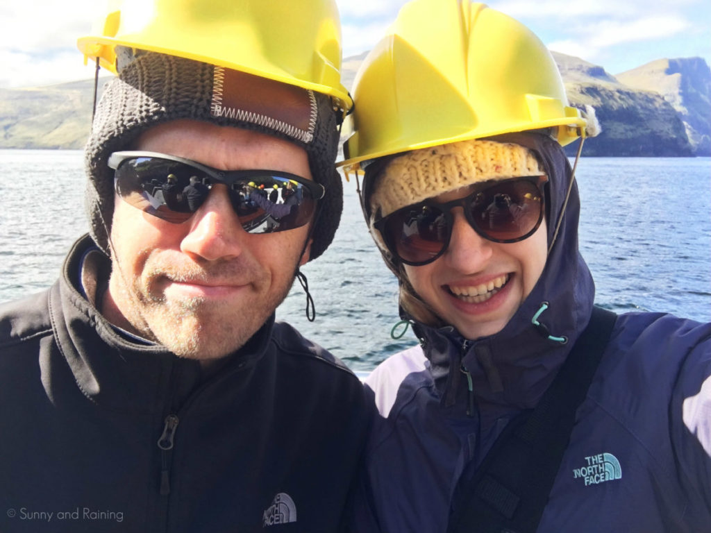
We sailed in and out of the cliffs, taking in a few more narrow paths before turning around at the northernmost port of Streymoy. Equipped with bright yellow hard hats, we were prepared to withstand any falling rocks. We were hardly in danger, but the eerie feeling of being somewhere unfamiliar added to the excitement.
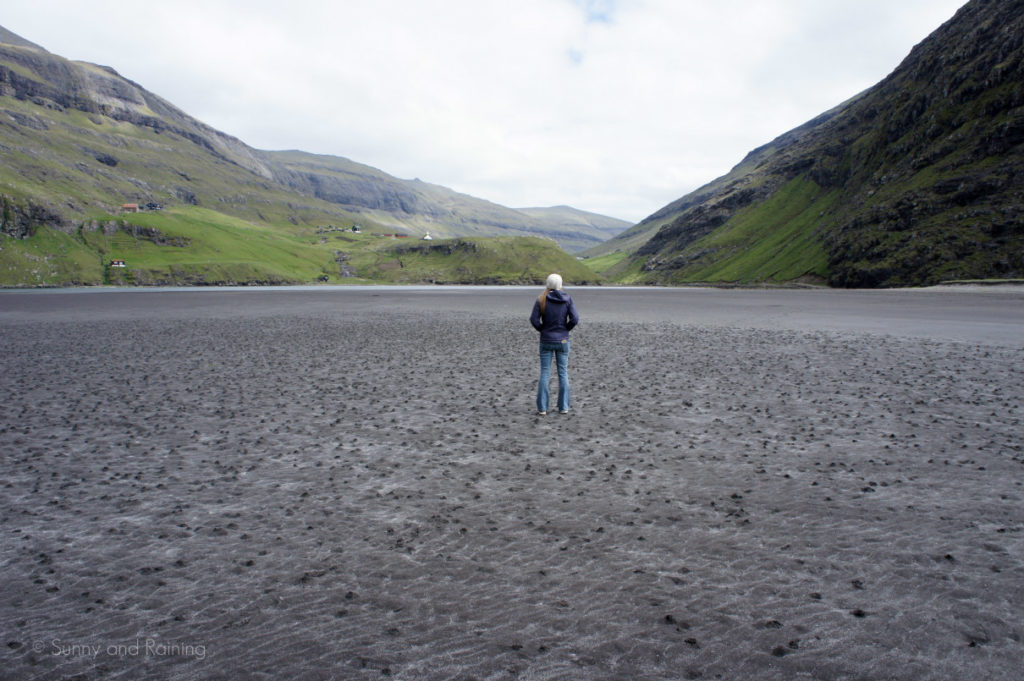
E: We heard a lot about the village of Saksun during the Vestmanna Bird Cliffs tour. We even rode up near the town, and decided it would be worthwhile to take a drive and see it for ourselves. It’s north of Vestmanna, but requires a bit of a roundabout 45-minute drive to get there. As soon as we parked and descended a shallow path down to the silted-in bay below, we were welcomed with breathtaking views. There were green cliffs shooting out of the dark, grey-ish sand. We spun around again and again — it was all so strange, but so beautiful. Low tide allowed us to wander from shore to shore and take it all in.
Out next stop on our little road trip was Tjørnuvík. It’s just north of Saksun, but, again, requires a roundabout half-hour route to get there. We didn’t mind the drive. The views were extraordinary everywhere we went. We did hear that some visitors opt to visit the Faroe Islands and rely on public transportation. I’m sure it’s entirely possible, but it’s most definitely worth renting a car to explore the islands on your own time.
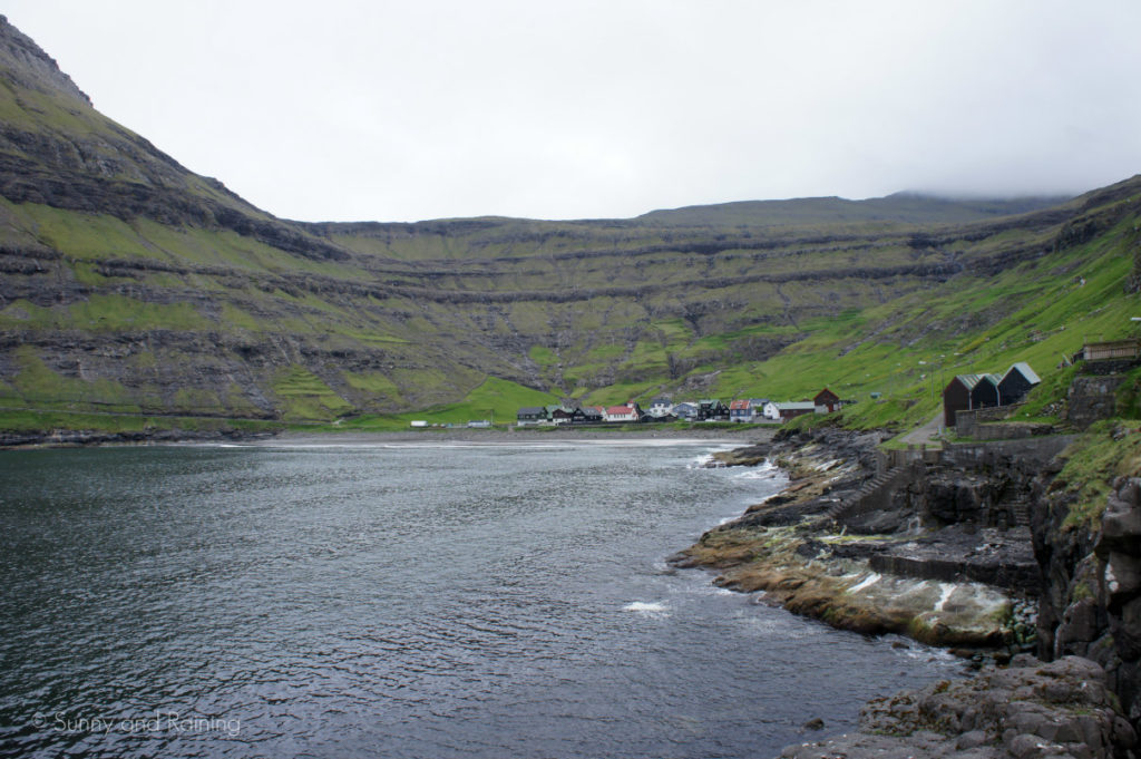
Nestled in a cove, Tjørnuvík is a popular surfing town of about 70 people in the northernmost island on Streymoy.
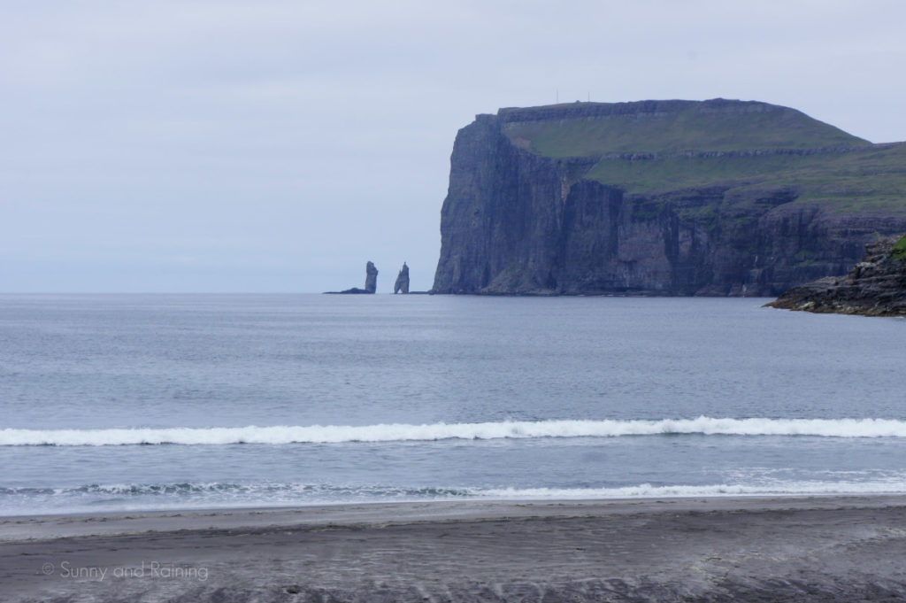
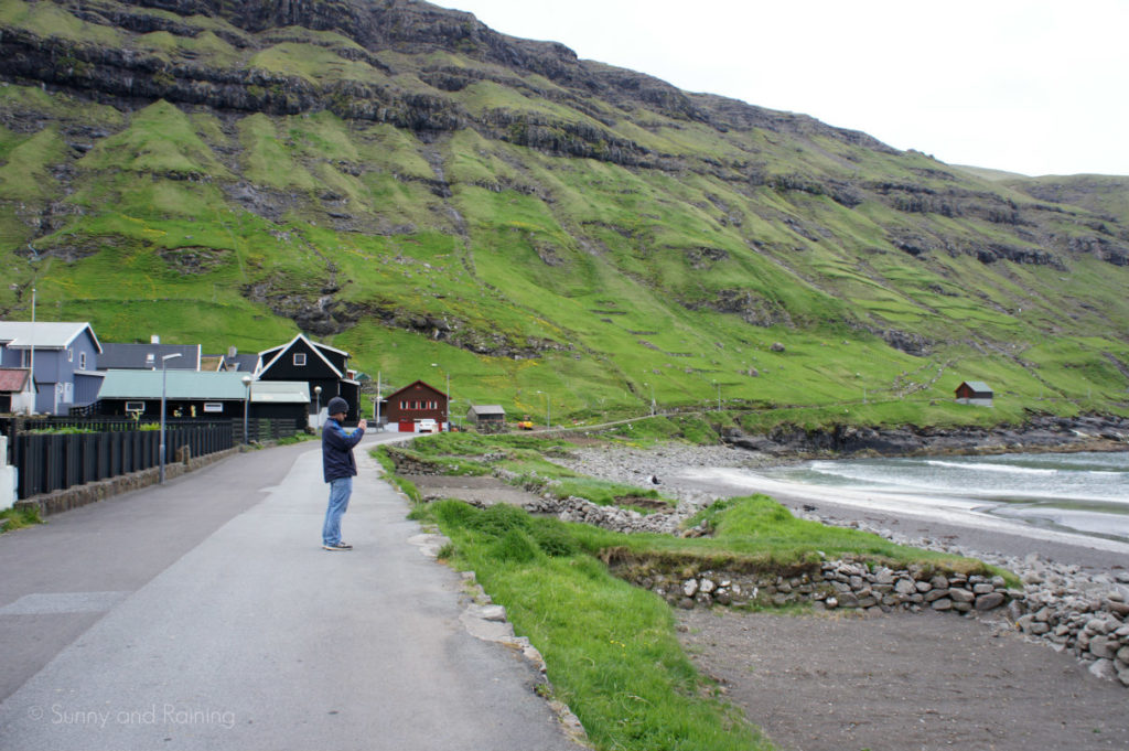
As we rounded the bend and drove into town, the only things we heard were the waves crashing onto the shore. We parked and walked around for a while, taking note of the dramatic rocks climbing straight out of the sea in the distance. Risen and Kellingin — as the locals know them — are two sea stacks said to be an ancient witch and giant who turned to stone. According to legend, an Icelandic chief sent the duo to steal the Faroe Islands and bring them back to Iceland. They worked through the night, but failed to succeed before the first sunbeams of dawn turned them to stone.
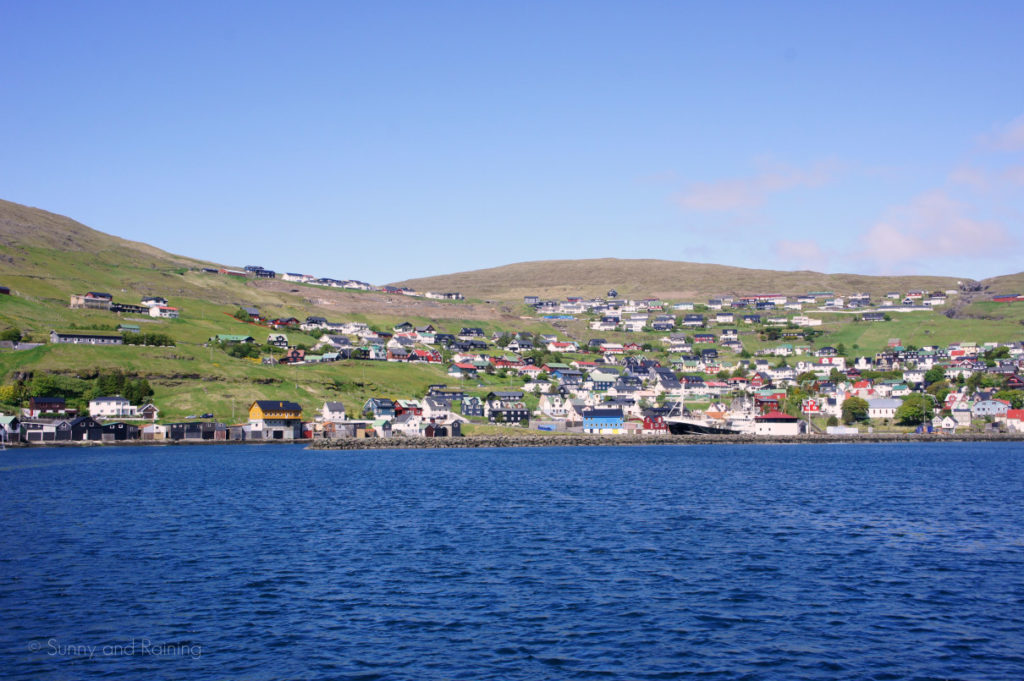
T: The modest capital city of Tórshavn felt massive and sprawled after hopping from hamlet to hamlet all day. Though today downtown Tórshavn is built to handle the occasional cruise ship invasion, the day we visited was quiet and deserted. Few shops were open late in the day, and we could have found a table at any restaurant. We found a tapas-style place called Katrina Christensen to sample some local fare in a casual but sophisticated dining room before meandering around the empty harbor.
Tórshavn is the hub of activity for the entire archipelago. Most of the stores, offices and people are in Tórshavn, and the port of Tórshavn is quite literally the Faroe Islands’ portal to the world. It’s modest but modern. Parking in the city is fairly straightforward and it runs partially on the honor system. Each car (including our rental car) has a little clock in the corner of the windshield, and you simply have to put the time you parked the car. Most parking spots have a time limit.
We walked along the water and made our way to the view in the puzzle: the harbor, with its vast array of sailboats lined up in front of brilliantly-colored buildings. Like elsewhere on the island, the buildings were painted brightly — white, red, yellow, blue — foiling the gray skies and green grass that engulf the island most of the year. After viewing the ocean and town from a few vantage points around downtown, we returned to the car, and within 10 minutes we were back in the sweepingly endless countryside.
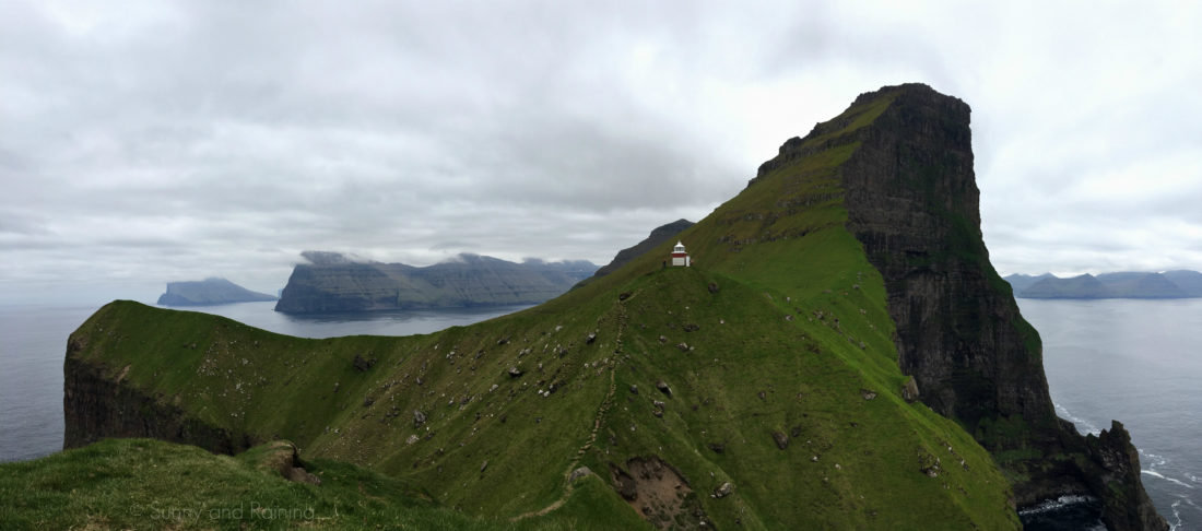
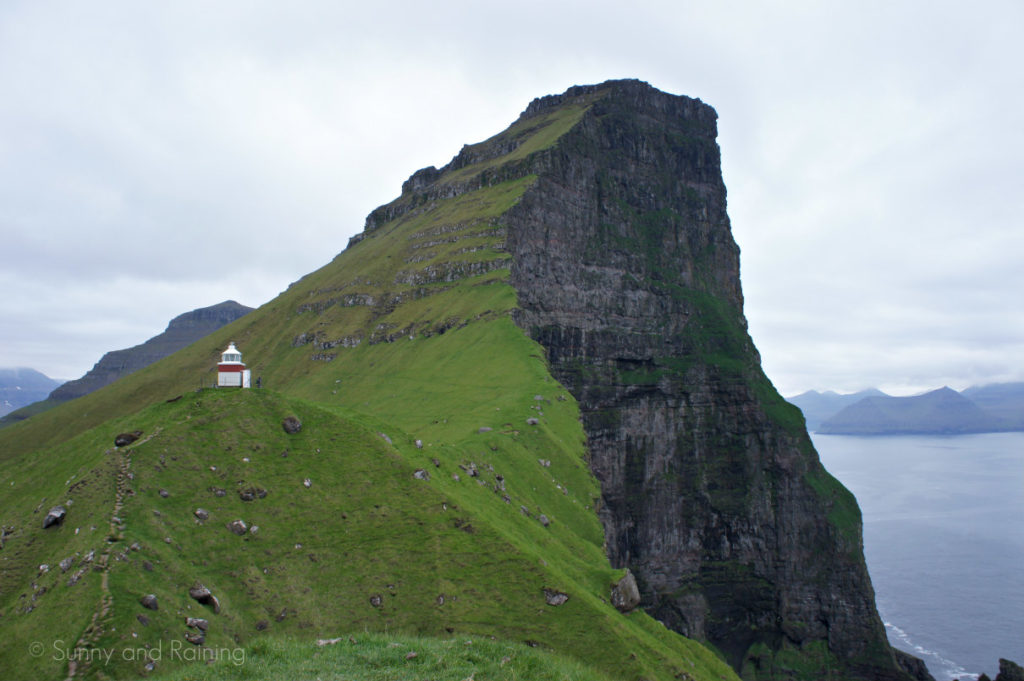
T: The Kallur Lighthouse on the island of Kalsoy, at least on these islands, is a holy grail of hikes. The journey is every bit as unique and interesting as the destination itself.
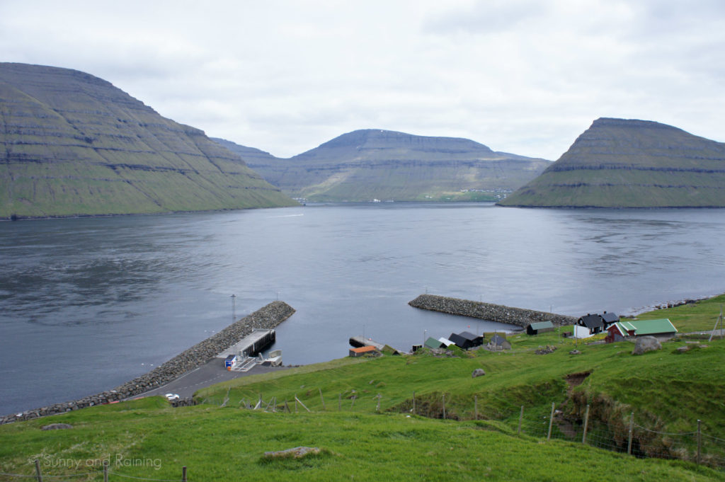
On our second morning, we made the hour-long journey from our Airbnb all the way to Klaksvík. This is where the ferry departs, connecting Kalsoy to Borðoy — Kalsoy’s only gateway to the rest of the world. (After returning from Kalsoy, we finished our trip with a wonderful and brisk hike up to the top of Klakkur, a relatively tame but still rewarding trip that overlooks Klaksvik and the surroundings).
After loading up with several other locals and tourists, we climbed upstairs to the lobby while our ferry embarked on its dutiful 20-minute voyage across the fjord. The ferry holds 20 or so cars and trucks, so be sure to get there early! Our hosts encouraged us to get there at least an hour early, which was wise as the ferry filled up.
From there, the cars file out and somehow disperse across the island. That’s tough to do, considering Kalsoy is home to three tiny towns and one road which winds its way around hillsides and through four harrowing tunnels — a half-hour, 16 kilometer trip. We became part of a caravan of rental cars poised to reach Trøllanes, and eventually, the Kallur Lighthouse.
E: After extensive research of the ideal path to the Kallur Lighthouse, the actual journey seemed almost too simple.
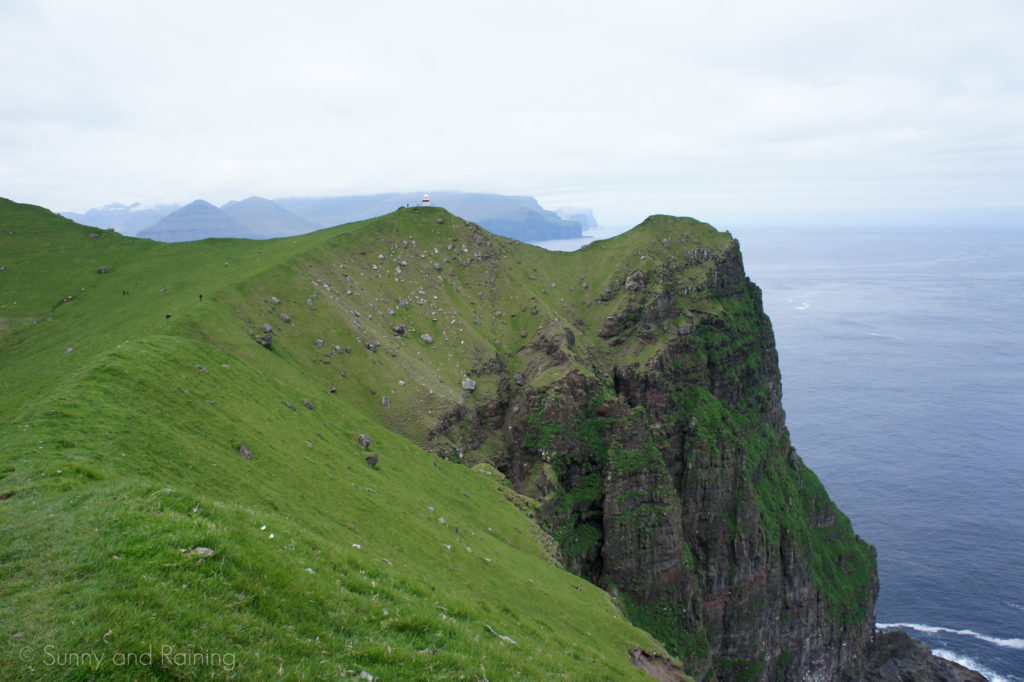
We closed the red gate behind us — one of many on the Faroe Islands to keep the sheep contained — and began ascending a path that would lead up to the very northern part of the island of Kalsoy.
Before long, we had the lighthouse in sight and relatively flat ground to take us the rest of the way there. If you’re going to take this hike, be sure to stick to the right of the tall cliff. There’s a visible path that’ll take you directly to the lighthouse.
With dozens of sheep around us, we stepped to the right and opted to hike outward toward the sea. The view further from the Kallur Lighthouse, we hoped, would be better with a dramatic cliff in the background.
It was. As we turned to face the small structure, it seemed we had again transported ourselves to another planet. Just two steps on either side, a steep cliff reminded us to stick to the well-worn path.
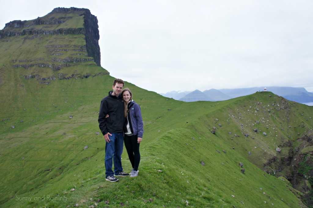
Instinctively (and usually always to Tim’s reluctance) I asked one of the other two souls who had ventured to the same spot to take our picture. She agreed, and I couldn’t help but ask where she was from.
She was living in New York, but excitedly mentioned she was considering moving to Minnesota. We answered her questions about the state and asked her how she had decided to visit the Faroe Islands.
“I saw a picture,” she said. “You?”
“We did a puzzle,” I said.
We spent some time talking about life, and about the Faroes, and mostly about the wonders of Minnesota, and then we were ready to go our separate ways.
But as we were taking it all in, thinking about the journey here and the incredulousness of it all, the girl simply said, “Wow. You guys did a puzzle, and now I’m moving to Minnesota.”
Funny how that is.
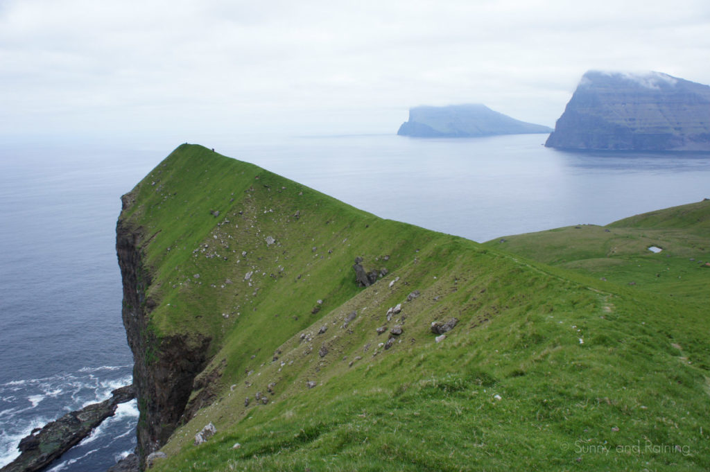
We looked around a little longer, and realized we needed to hike out to the other side of the lighthouse. Only this time, the path was much steeper and offered little room for mistakes.
I held tight to Tim’s hand, and we climbed to the spot on the very edge of the cliff. We sat there for a long time, looking around in all directions.
Just three and a half years earlier, we had only known this place as it existed in an old puzzle.
When we went: Early June, 2018
Where we stayed: Airbnb in Kvívík
How long we stayed: Three nights | Two and a half days | Wednesday late-afternoon to Saturday morning
What we wish we knew before we went: Tickets to Mykines sell out. Buy them in advance if possible. | Fossa waterfall doesn’t always look like the pictures. When we went, it was barely falling as a tickle. | WiFi is difficult, if not impossible to find at times. Download an offline map and be sure you don’t need WiFi in order to message your Airbnb host, or to track down the address to your accommodations. | The weather on the Faroe Islands is a bit chilly — even in June it was about 40 degrees at times. Bring a coat, a hat and some warm shoes.
